
Conservation through geodesign.
Every planner knows Ian McHarg’s book Design With Nature (1969) - essentially step-by-step instructions on how to plan a region’s appropriate uses and highlight areas for development or conservation. This once involved overlaying a series of hand-drawn tracing paper maps.
Today’s digital technologies, including GIS (Geographic Information Systems) and DTM (Digital Terrain Modelling) make McHarg’s approach more effective and efficient. Amalgamating these technologies and data is now termed ‘Geodesign’.

Image from motatapu.com

Image by Vicki Devine
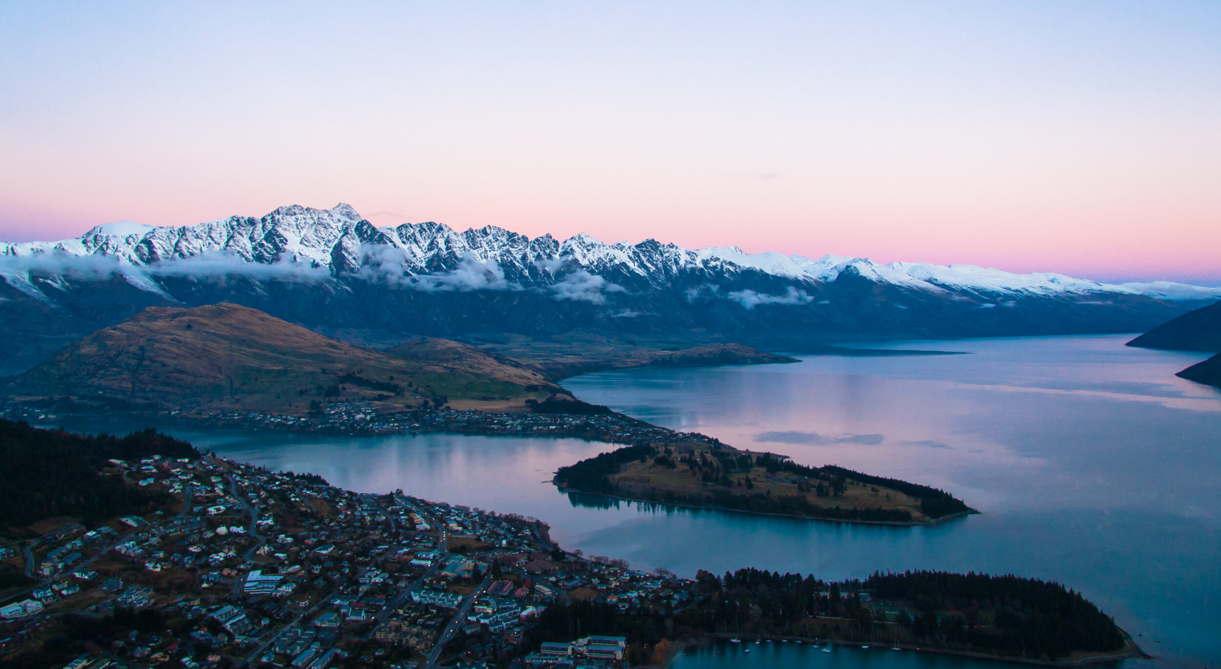
In the early 2000’s the New Zealand Government announced a review of the leasehold tenure of large “station” (or ranch) landholdings. This involved 20% of the South Island or 10% of the total land area of New Zealand. Doug Leighton, Principal of leading consultancy Boffa Miskell was asked by leaseholders of four high country stations totaling about 40,000 Ha (99,000 acres) to create Conservation Plans for the Tenure Review process.
Doug identified the potential to use Boffa Miskell’s developing GIS capabilities to map and model landscape, vegetation, agricultural and other values and then generate planning, conservation, and management options. Mapping was complicated by the mountainous landscape, which also required 3D Digital Terrain modelling. This planning process led to successful approvals and helped protect conservation values and landscapes on a massive scale.